Introduction
In the chapter “Weather Analysis on a sailboat. Generalities”, we discuss the two phases of the study of weather on board: long-term and short-term planning, highlighting the most important publications and tools available for use in these two phases.
Within short-term planning, the use of GRIB weather files is one of the most effective tools for having updated weather data on board: wind, wind gusts, waves, precipitation and atmospheric pressure, among others, and with data that covers our navigation area and with a forecast that covers a period of several days.
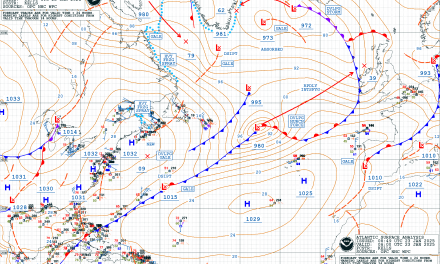
This information provided by a GRIB file can be viewed on board on a PC computer, or on a navigation plotter with the appropriate software, and will be useful for making decisions about which is the best route to follow, the sail area to hoist at any given time, etc. In the image above we see a GRIB weather file displayed in the XyGrib app.
In this new chapter of the online book “Meteorology and Oceanography for Sailors” we will discuss in more detail the following aspects related to GRIB weather files:
– What is a GRIB weather file?
– Models that provide GRIB weather.
– How to obtain GRIB weather files on board?
– Considerations on the use of GRIB weather files on board. Efecúe Log In para desbloquear.Este contenido solo está disponible para subscriptores de navegantesoceanicos.com